


Welcome to my Weather Page and e-Portfolio

Current Surface Analysis |
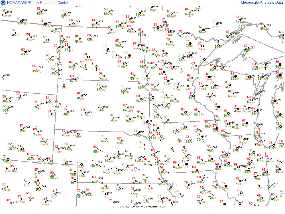
Surface Observations |
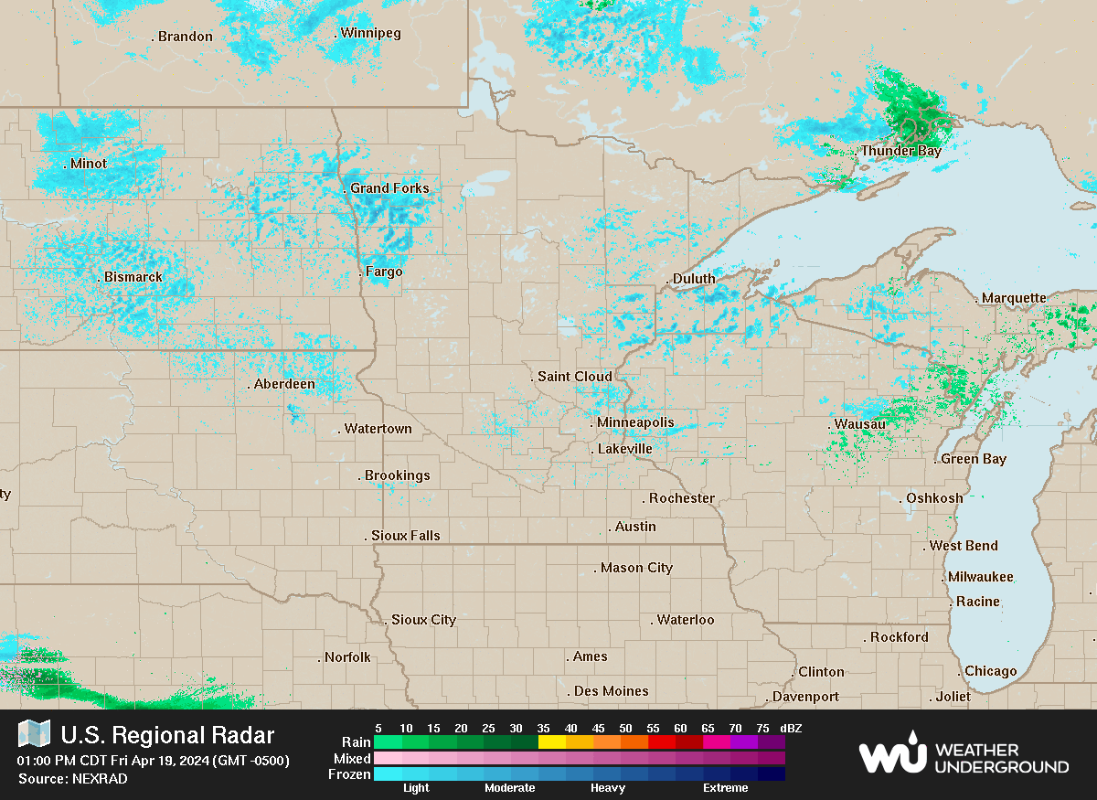
Current Radar Loop |

Current Satellite Loop |
Watches and Warnings |

SPC Severe Outlook |
GRLevel 3 Radar | Storm Relative Velocity The radar images need to be manually refreshed every 5 minutes to update. If the image is old or not visible, the radar is not on. Radar Key: Orange = Severe Thunderstorm Warning Red = Tornado Warning Pink = Tornado Warning with confirmed tornado Purple = Tornado Emergency Plus signs = Lightning strikes within the past hour with the largest being most recent. DBZ of 60 or higher (pink/white) indicates potential hail. Radar Key Image Additional GRLevel 3 Products: (If the radar isn't on, these images will be old.) Echo Tops Blue: 10-20 KFT | Teal: 20-30 KFT | Yellow: 30-40 KFT Orange: 40-50 KFT | Red: 50-60 KFT | Pink: 60 KFT+ The higher the cloud tops are, the stronger the storm. One Hour Precip Blue: 0-0.5" | Green: 0.5-1.0" | Yellow/Orange: 1.0-1.5" Red: 1.5-2.0" | Pink: 2.0-2.5" | White: 2.5"+ Storm Total Precip Blue: 0-0.5" | Green: 0.5-1.0" | Yellow/Orange: 1.0-2.0" Red: 2.0-3.0" | Pink: 3.0-4.0" | White: 4"+ Vertically Integrated Liquid High values are associated with large hail and/or heavy rain. If values suddenly fall, a potential downburst could be in progress. Hydrometer Classification Red within a cell indicates potential hail. Correlation Coefficient This is useful for finding debris signatures in tornadic storms. Areas of lower returns (blue) within a velocity couplet indicates debris. Example |
